


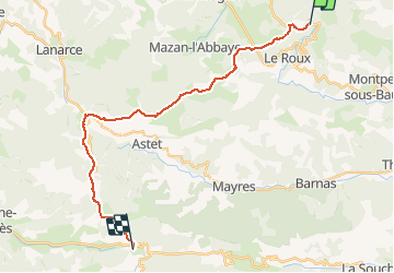

7.3 km | 11.6 km-effort


User


FREE GPS app for hiking
 SityTrail
IGN / Geographical institutes
SityTrail World
The world is yours!
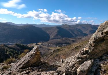
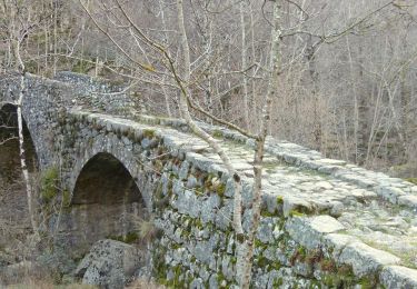
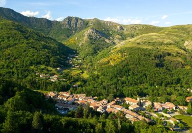
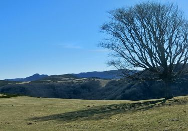
Trail Walking of 24 km to be discovered at Auvergne-Rhône-Alpes, Ardèche, Le Roux. This trail is proposed by richard21220.
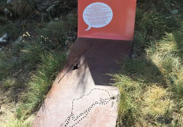
y a un gîte d'étape
Walking

Walking
Walking
Walking

Walking
Walking
Walking
Walking
Walking